- Description
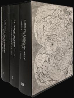
- Rome: Edizioni Antiquarius, December 2018. Three volumes, 320x235 mm. 2572 pp. Ill. Hardcover with dust jacket.
- language
- Italian
Cartografia e Topografia italiana del XVI secolo
Catalogo Ragionato delle Opere a Stampa.
Stefano Bifolco, Fabrizio Ronca
A monumental work, long-awaited by collectors and enthusiasts of early cartography. For the academic the work represents the 'new Tooley', or an updated version of Ronald V. Tooley's (1939) 'Maps in Italian Atlases of the Sixteenth Century', which had remained until now the only attempt to catalogue the printed maps of the Italian sixteenth century.
The compendium lists 1280 different maps which, including their various editions (following Tooley's own parameters), are brought up to a total of 2231. Each map is illustrated and described.
The project is based on Stefano Bifolco's experience in the field and on Fabrizio Ronca's passion for it; and it is validated by the scientific consultation of the main experts in the area. The work is the result of a lengthy and meticulous research, consultation, and comparison of various examples and editions, lead by the authors with dedication and accuracy.
Long-awaited by academics and collectors from every part of the world, the work is aimed not only at experts, but also at scholars, librarians, archivists who catalogue maps, and to the cartography lovers who wish to embrace the wealth and variety of Italian cartography.